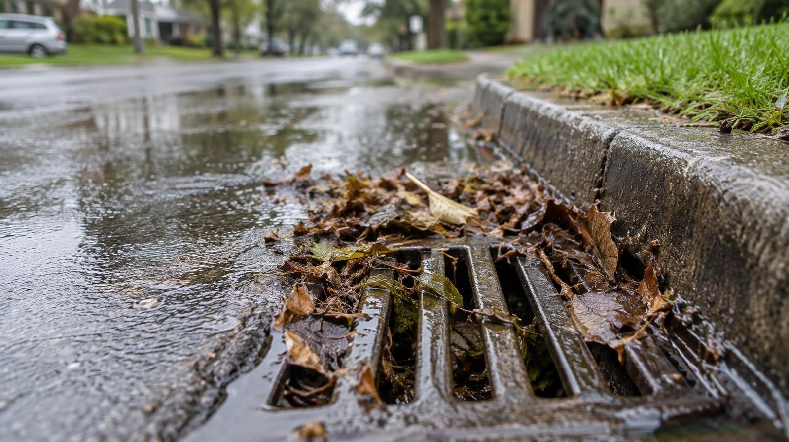
New Providence officials have cleared more than a thousand catch basins and repaired dozens of problem spots since July's flooding, TAPinto New Providence reported.
The borough is also pursuing a $3 million federal grant with neighboring towns to address flooding along the Passaic River.
Residents at a recent council meeting pressed officials for faster pipe inspections and the release of public stormwater maps, according to the TAPinto report. Mayor Allen B. Morgan framed the stormwater effort as a long-term investment, comparing it to a road-program-style approach to reducing neighborhood flooding risks.
The $3 million grant
The grant, first reported by the Daily Record in July, would target flood-prone areas along the Passaic River in Berkeley Heights, Long Hill, New Providence, Summit and Chatham. Rep. Tom Kean Jr. announced the funding on July 23 as part of $17.7 million in Community Project Funding for New Jersey's Seventh Congressional District.
The project would clear major obstructions from Passaic River tributaries, including the Whippany River, and shore up stream banks to reduce flooding and soil erosion, according to the Daily Record.
The funding still requires congressional approval. The Daily Record reported in July that it was subject to House approval. A Patch newsletter published Oct. 28 said the grant still needs Senate approval, with both Kean and Sen. Cory Booker involved.
Mapping project already underway
New Providence launched a separate stormwater infrastructure mapping project over the summer. Field crews from Colliers Engineering & Design began working throughout the borough the week of July 6, according to a Patch report published at the time.
That project aims to create a comprehensive map of the borough's stormwater system, covering catch basins, manholes, storm sewer pipes, outfalls and detention basins. Borough officials said the information would support maintenance, help identify drainage issues, guide future improvements, strengthen grant applications and improve flood resilience.
Why flooding hits New Providence hard
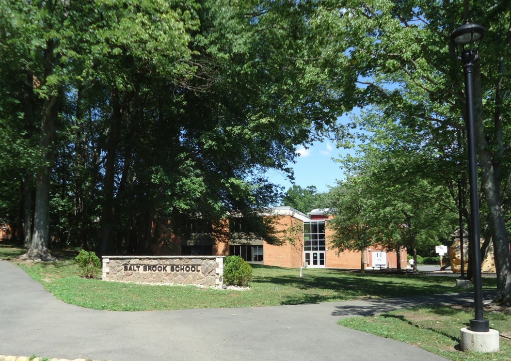
The borough sits on the western slope of Second Watchung Mountain. Several creek beds carved into the landscape feed into Salt Brook, which joins the Passaic River near the center of town. Much of the riverfront land is wooded floodplain.
Kean wrote in his July announcement that municipalities in the Passaic River basin "have experienced repeated and severe flooding events in recent years, resulting in significant public safety hazards, damage to public infrastructure, damage to property, roadway closures, emergency response impacts, and disruption to residents and businesses."
The next step for residents watching this issue: the grant's path through Congress and whether the borough releases the stormwater maps that residents have requested.