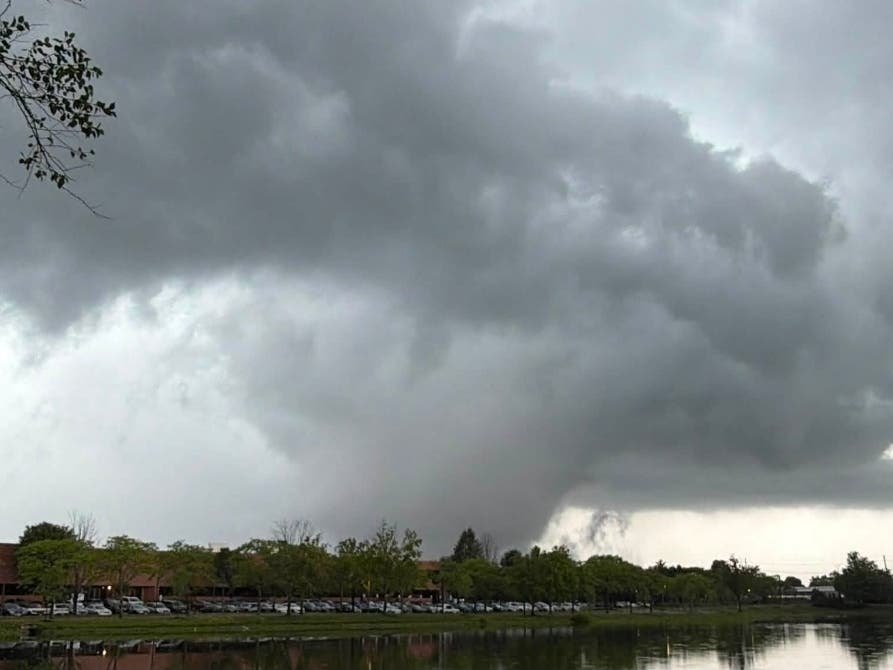
Two confirmed tornadoes touched down in northern New Jersey on Tuesday, July 21, one in Stanhope and one in Parsippany-Troy Hills, after the National Weather Service warned that Madison was directly in the path of a tornado-capable storm. Madison reported no damage or injuries as of Wednesday, July 22.
No one was hurt in either tornado, according to Stanhope Police and Morris County emergency management officials.
The NWS first flagged the danger around 2:30 p.m. when radar tracked a storm capable of producing a tornado moving east through Budd Lake at 25 mph. The agency identified Madison, Florham Park, East Hanover, and Hanover Township as the most at-risk towns.
A trained NWS spotter witnessed the first tornado touch down at the intersection of Interstate 80 and U.S. Route 206 in Stanhope at 3:10 p.m. Stanhope Police said most damage was contained to major roadways, where downed trees blocked the highway and one tree caught fire after falling onto a power line.
Thirty-three minutes later, at 3:43 p.m., a second tornado struck Parsippany. Morris County Office of Emergency Management Director Jeffrey Paul told CBS News New York that 911 operators watched the rotation from their windows as calls flooded in.
"The operators were all actually looking out the window at the time and did see the rotation," Paul said.
Nearly 1,000 customers lost power across Morris County at the storm's peak, Paul said. Union County, including Summit, was under a flood watch through late Tuesday, with the NWS forecasting 2 to 4 inches of total rainfall.
Gov. Mikie Sherrill urged residents to take tornado warnings seriously, telling CBS News New York that the state activated its Department of Transportation operations center to keep roads safe during the evening commute. The tornado watch covered much of northern New Jersey until 9 p.m.
What comes next
NWS survey crews were dispatched to Stanhope and Parsippany on Wednesday, July 22, to assess damage and assign EF ratings. Results are expected within several days.
The NWS forecast drier conditions beginning Thursday, July 23, and continuing through the weekend.